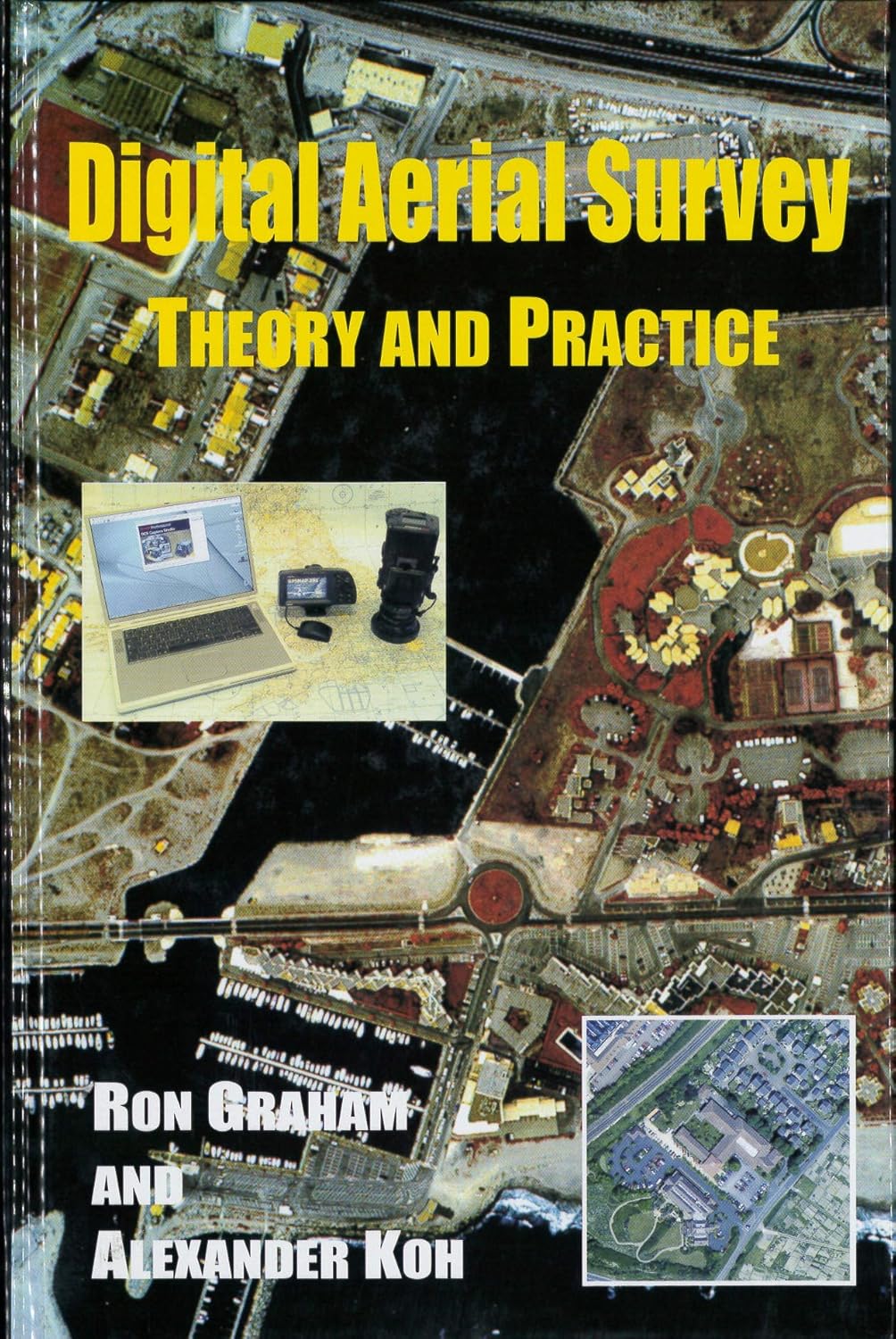
Digital aerial survey
Type doc. :
Livre
Langue :
Anglais
Auteur(s) :
Année d'édition :
2002
Thème :
Electronique
ISBN :
1870325982
Afficher le Résumé
A comprehensive manual that examines the systems available for data capture and photogrammetic processing, and provides an opportunity for readers to apply photo-interpretation, reconnaissance and photomapping techniques to many planning, resource harvesting, pollution prevention, civil engineering, disaster mitigation and containment requirements. Included within the 12 chapters are the principles of digital systems, digital aerial photography, cameras, survey-camera mountings, survey navigation, GPS and (d)GPS systems. In addition there is sound coverage of soft-copy photogrammetry, gorund survey control and a final chapter devoted to typical digital air surveys worldwide.
| N° Bulletin | Date / Année de parution | Titre N° Spécial | Sommaire |
|---|
| N° d'Exemplaire / inventaire | Cote | Localisation | Type de Support | Type de Prêt | Statut | Date de Restitution Prévue | Réservation |
|---|---|---|---|---|---|---|---|
| 208059A07 | 621.381 GRA 14 C1 | BIB-Centrale / Ouvrages | Papier | interne | disponible |
Graham, R. & Koh, A. (2002). Digital aerial survey .