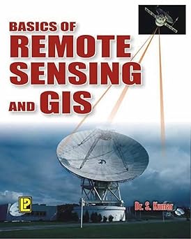
Basics of Remote Sensing and GIS
Type doc. :
Langue :
Auteur(s) :
Editeur(s) :
Année d'édition :
Thème :
ISBN :
Afficher le Résumé
The book “Basics of Remote Sensing and GIS” by S. Kumar introduces the fundamental concepts of Remote Sensing and Geographic Information Systems (GIS), which are key technologies used for collecting, analyzing, and managing spatial data about the Earth’s surface. It explains how satellite images and aerial photographs are acquired through sensors without direct contact with the ground, and how these data are processed and interpreted to extract meaningful geographic information. The book also describes the basic components of GIS, including spatial data storage, data management, and spatial analysis techniques. The author covers essential topics such as digital image processing, cartographic representation, GPS applications, and spatial database systems. It also highlights how these technologies work together to support decision-making in spatial planning. The book presents a wide range of practical applications in fields such as civil engineering, urban planning, environmental management, agriculture, hydrology, geology, and natural disaster management.
| N° Bulletin | Date / Année de parution | Titre N° Spécial | Sommaire |
|---|
| N° d'Exemplaire / inventaire | Cote | Localisation | Type de Support | Type de Prêt | Statut | Date de Restitution Prévue | Réservation |
|---|---|---|---|---|---|---|---|
| 199682A06 | 624 KUM 1 C1 | BIB-Centrale / Ouvrages | Papier | interne | disponible | ||
| 199683A06 | 624 KUM 1 C2 | BIB-Centrale / Ouvrages | Papier | interne | disponible |